Via Karelia: 1,080 kilometres along the eastern edge
Via Karelia is an umbrella brand; the road underneath it is Runon ja Rajan tie, the Road of Poem and Border. It runs 1,080 kilometres entirely inside Finland, from Virolahti on the Gulf of Finland north along the eastern frontier to Salla in Lapland.
It was established in 1966, which makes it Finland’s oldest tourist road. It was formally nominated as a tourism route in 2002 and signposted in 2003–2004 with brown signs carrying an RR symbol — unlike the King’s Road signs, these are still up.
The whole thing is a week. This page covers the northern two-thirds, Imatra to Kuusamo, which is the emptiest and most distinctive part and works as a three- to four-night drive on its own.
The route
South to north the full road runs through Virolahti, Miehikkälä, Lappeenranta, Imatra, Ruokolahti, Rautjärvi, Parikkala, Kitee, Tohmajärvi, Joensuu, Ilomantsi, Lieksa, Nurmes, Kuhmo, Suomussalmi, Kuusamo and Salla.
There is no single road number. The chain is: road 387 from Vaalimaa to Lappeenranta, vt 6 to Kitee, road 486 to Tohmajärvi, vt 9 to Niirala, road 500 to Ilomantsi, road 522 to Lieksa, road 73 to Nurmes, road 75 to Kuhmo, road 912 to Suomussalmi, vt 5 to Kuusamo, road 950 on to Salla and road 82 to the border.
Road 522, Ilomantsi to Lieksa, is the one to know about. It is remote, it is beautiful, and services on it are scarce.
Stop 1 — Imatra
The southern end of this section and the last properly urban stop. Imatrankoski, the rapids the town grew around, is now released on a schedule in summer rather than running freely — a piece of industrial-era stagecraft that draws crowds anyway.
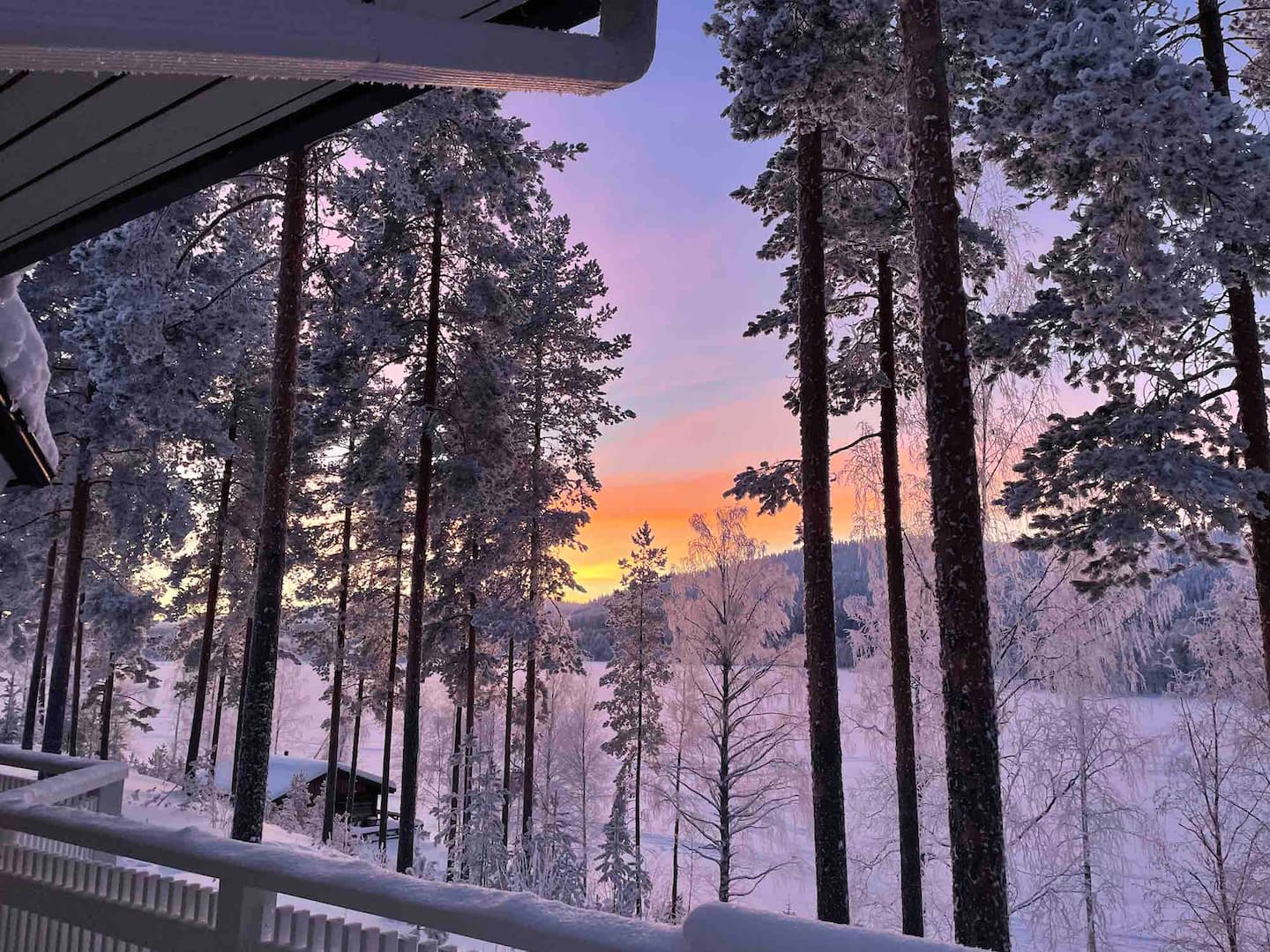
Imatra sits on the Saimaa lake system, and the drive north from here crosses Pihlajavesi and Puruvesi: this is Lakeland at its widest before the road turns into forest.