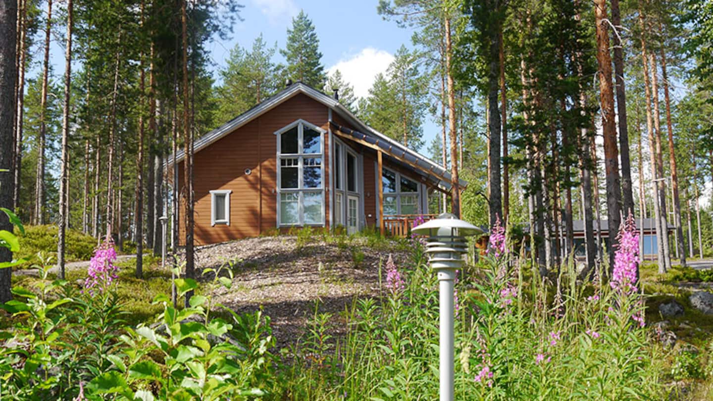
Koli: the view Finland put on its own postcards
Ukko-Koli rises 347 metres above sea level and 253 metres above Lake Pielinen, and the quartzite ridge it sits on is the closest thing Finland has to an official national landscape. Painters came here in the 1890s, and the view has been shorthand for the country ever since.
The park itself is small — 3,000 hectares, established by act of parliament in April 1991 and expanded in 1996, spread across Lieksa, Joensuu and Kontiolahti. It is also busy: 224,000 visitors in 2025 made it Finland’s fourth most visited national park. Koli is not a wilderness experience. It is a viewpoint with a hotel on it, and it is worth the trip anyway.
The loop
Koli is a destination rather than a linear route, and the natural way to travel it is the Lake Pielinen circuit: Joensuu → Ahmovaara → Koli → Lieksa → Joensuu, about 305 kilometres and four and a half to five hours of driving, not counting stops.
The legs: Joensuu to Koli is 71 km on road 6 to Ahmovaara, then road 504 (Kolintie) up to the village. Koli back down and around the south end of Pielinen to Lieksa is about 120 km. Lieksa to Joensuu on road 73 is 98 km. Run it the other way, north via Nurmes, and the total is the same.
Stop 1 — Joensuu
The capital of North Karelia and the practical start of the loop: it has the airport, the rail connection and the widest choice of beds. Joensuu is also where you stock up — the villages around Pielinen are small and the shops close early.
Stop 2 — Koli
The village sits below the ridge; the summit is a short drive or a chairlift ride above it. Ukko-Koli is the main peak, with Akka-Koli and Paha-Koli beside it — the names mean old man, old woman and evil, which tells you something about how the place was regarded before it became scenic.
At the top: the Koli Nature Centre Ukko, a hotel, and the marked trails that fan out along the ridge. Below, at Koli harbour on Rantatie, there is a guest marina and the pier for the Lake Pielinen boat.